We are a week into this cruise now, and the weather has still been amazingly cooperative. Every now and then, the winds pipe up to around 20 knots (short for nautical miles per hour—mariners and fliers measure distance in nautical miles while landlubbers use statute miles—the nautical mile is about 15% longer than a statute mile). Another weather constant on this cruise has been the almost total lack of clear skies. While the length of day is very long at this latitude (60 degrees North), the sun has been obscured by overcast, or sometimes even rain clouds, every day so far. But that’s a small price to pay if it means the winds stay low. High winds, and the large swells and waves that they churn up, can bring all science activities to a halt. Once the deck starts pitching and rolling, it’s just too dangerous for anyone to work on deck.
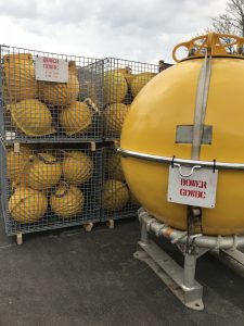
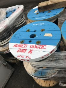
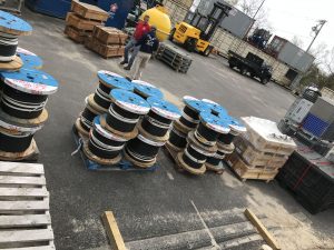
Tomorrow morning we are planning our first official OSNAP mooring deployment, at a position named M4. There is already a mooring sitting at this site—put there two years ago by our UK OSNAP colleagues. Since two years is typically the longest one of these moorings can be in place, this is the year that it has to be recovered and replaced. The UK group will be here on a different vessel in a few days to recover their mooring, but due to our schedule, we will get there first. This means we need to identify a position nearby, but not too close, to the UK mooring to deploy our mooring. It has to be two nautical miles north of the old mooring so they don’t get tangled with each other during deployment or recovery, and at about the same water depth.
To find a new position, tonight we will do a survey of the surrounding sea floor using the ship’s multi-beam system. This is a sophisticated echo sounder used to find the water depth under the ship, not just directly below the ship, but in a wide swath to the left and right as well. It’s sort of analogous to a flashlight beam that comes out of the flashlight with one diameter but projects on a far wall with a much wider diameter. Only in this case we are using sound to “illuminate” the seafloor. By steering the ship in one direction for a few miles, turning around and moving over about 1 mile and then steering in the opposite direction, we can get a two-dimensional map of the shape of the sea floor. We call this process ‘mowing the lawn” because it resembles the pattern some people use to mow their lawns—one lane to the end of the yard, then another lane right next to it walking in the opposite direction.
It’s always exciting to watch the map of the seafloor gradually appear on the computer screen as the ship slowly moves along. I can’t see it very well anymore, but I remember from years past. Some of the ocean bottom is flat and boring, but other areas are anything but. In this area, there are many underwater canyons cutting into the sloping sea floor, that goes from very shallow near the coast of Greenland to about 3000 meters (more than 1.5 miles) deep farther offshore. The ship’s resident marine technician and my research associate will watch the map evolve and choose the best new position for our mooring, while I listen and provide advice if needed.
I’m starting to use three-dimensional models of the shape of the sea floor these days, made using a 3-D printer. These models aren’t quite the same as detailed two-dimensional maps, and they aren’t yet available in real-time, but they are a useful substitute for now, along with a good description of the detailed 2D map provided by a sighted person .


