[Cruise Journal: the rest of the cruise]
A busy time in which: Sentry successfully completes the remainder of its science dives; watchstanding and data processing continue apace; we begin sharing our already limited satellite internet with several other research vessels in the region; we wrap up our science mission and begin transiting to Guam; and all of the various books, computers, notes, devices, containers, coffee, and other accoutrements of marine geophysics in the field begin to be packed away for shipping back to their home labs.
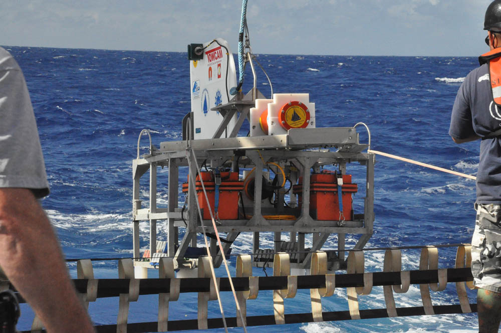
As the surface towed maggie is retrieved for the last time, we can take stock of the status of the science mission and reflect on our time onboard during the few brief hours that remain.
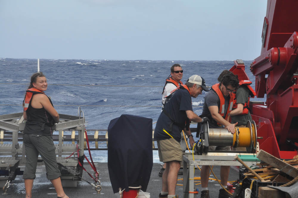
With this last surface maggie recovery, science operations of JQZ cruise 3.2 are complete