

Japanese led observations in the immediate vicinity of the Dai-ichi power plants began soon after the initial ocean discharge of radionuclides. These observations focused on contamination within 50 km of the power plant and the possible secondary contamination downstream by coastal currents. Relatively speaking, to this day, the far western basin is better sampled, with a greater number of observations available near Japan and fewer over the broader region of the central and eastern Pacific. Below we outline the observations that we are using as part of this project.
2011: In 2011, the members of our WHOI group support by the Gordon and Betty Moore Foundation collaborated with colleagues in Japan and Europe to assemble a research cruise to comprehensively measure the extent oceanic of contamination three months after the initial explosions. We used a ship from the University of Hawaii, the R/V Ka`imikai-o-Kanaloa, and thereafter, for this project this expedition became known as the KoK cruise. The survey track covered an area of about 6° of longitude (~600 km) and 3° of latitude (~300 km) mainly to the north the Kuroshio Current. A variety of measurements were made of surface and subsurface waters that allowed for analysis of the waters themselves for cesium, strontium and iodine isotopes as well as mesopelagic (100 to 1000 m) fish and plankton. Surface drifters were deployed to better understand currents in the area and air samples were also taken. (Read more: Buesseler et al., 2012 and Rypina et al, 2014)
2012: In 2012, surface water samples were collected along a section occupied by the Sea Dragon Cruise (operated by the Two Hands Project: http://www.twohandsproject.org) from Yokohama to Hawaii (June to July 2012) and along the Plastics at Sea section occupied by the sailing school vessel Robert C. Seamans (operated by the Sea Education Association: http://www.sea.edu) from San Diego to Hawaii (October to November 2012). (Read more: Yoshida et al, 2015)
2013: In 2013, samples were collected along the 30°N–40°N meridional line just west of 150°E by the University of Washington student cruise, MV1304 (March 2013), and along the basin-wide 30°N transect (P02) conducted as part of the U.S. Climate Variability and Predictability (CLIVAR) hydrographic program, now called the U.S. GO-SHIP (March–May 2013). The full data set from the cruise can be found on the CLIVAR and Carbon Hydrographic Data Office (CCHDO) website. In addition to the surface samples, these 2013 data sets included two upper water column profiles obtained by the MV1304 cruise and 13 deeper vertical profiles collected as part of P02. (Read more: Yoshida et al, 2015)
2014: At the end of July through the beginning of August 2014, samples were collected on the R/V Point Sur operated by the Moss Landing Marine Laboratory along a transect from Dutch Harbor, Alaska to Eureka, Washington crossing the Alaskan gyre. These MLML samples included 15 surface and 15 profile samples with 6 samples collected from 600m depth. (Read more: Yoshida et al, 2015)
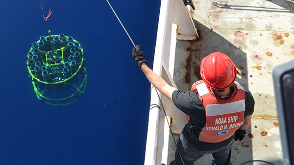
2015: In 2015, as part of the U.S. GO-SHIP program, reoccupation of P16N, nearly 400 samples were collected at 82 locations along the 152°W meridional line from 3°N to the Alaskan shelf, across the Alaska Gyre at ~54°N and within 200 nautical miles of the Seattle. This data set included 25 profiles to 1000 m or the bottom, which ever came first and 40 surface/subsurface pairs of samples that provided approximately 1° spacing along the 152°W line. The full data set from this cruise can be found on the CLIVAR and Carbon Hydrographic Data Office (CCHDO) website: https://cchdo.ucsd.edu/ under the cruise id P16N.
(All the data is available on ORO.)